Tahoe Daily Snow

By Bryan Allegretto, Forecaster Posted 9 years ago September 28, 2014
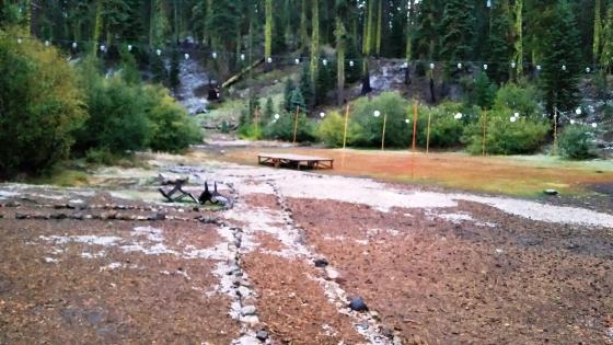
The heaviest band of precip shifted to our East last night in the early morning hours. Not before snow levels dropped to 7000 ft. and left a little dusting of snow.
More bands of precip have rotated through today and will continue tonight as the low pulls East. Snow levels have risen up to around 8500 ft. As things start to clear out on Sunday we should see some white on the peaks.
During the Winter we wouldn't normally post so much about a dusting of snow. It is fun to do in September as we see the first signs of the change in the seasons and weather patterns.
Dry weather returns next week. I'll keep you posted on when the next chance of precip may occur.
Stay tuned....BA
About Our Forecaster
Bryan Allegretto
Forecaster
Bryan Allegretto has been writing insightful posts about snow storms for over the last 15 years and is known as Tahoe's go-to snow forecaster. BA grew up in south Jersey, surfing, snowboarding, and chasing down the storms creating the epic conditions for both.
Free OpenSnow App


