I-80 California Daily Snow

By Bryan Allegretto, Forecaster Posted 2 years ago October 23, 2021
Heavy Rain Saturday, Heavy Snow Sunday Night - Monday...
Summary
Scattered rain & snow showers possible along I-80 over Donner Summit Saturday afternoon/evening. Then heavy rain and high winds for later Saturday night through Sunday night. Around midnight Sunday into Monday, the rain could change to snow with heavy snow over Donner Summit into Truckee.
Update
Saturday:
Light showers are expected to return to the region Saturday afternoon and evening. Snow levels will be between 7000-8000 ft. depending on the intensity of the precipitation. The top of Donner Summit is 7239', so likely mostly rain showers but a few flakes are possible. Not expecting any accumulation on the roads or travel issues.
Heavy Rain Saturday Night - Sunday:
Heavier rain moves in between 10 PM - Midnight and winds continue to increase. Snow levels could start near the top of Donner Summit initially so watch for possible heavy snow at the start if you're driving overnight, but then they rise above 10,000 ft. into Sunday evening.
The main travel issue expected through Sunday evening will be water on the roads, gusty winds, and low visibility from the intense rainfall.
Snow Sunday Night - Monday:
Snow levels will start to drop Sunday night into Monday morning. The exact timing of when they will reach Donner Summit is hard to know for certain, but our guess right now is around 12-1 AM Monday morning. But watch for an earlier drop if you happen to be traveling during the early morning hours. Snow levels will drop as low as 5500-6000 ft. by later Monday morning, with snow over a longer stretch or road from around Blue Canyon into Truckee.
Once the rain changes to snow we could see several hours of heavy snow that should accumulate pretty quickly on the roads and cause chain controls. Be prepared for delays and chain controls along I-80 up and over Donner Summit Monday. The heaviest snow is expected to end by late morning, with scattered snow showers and improving conditions during the afternoon.
We may see the snow showers end by Monday evening with the roads possibly starting to dry out overnight into Tuesday if the showers from the trough passage stay to our north into Tuesday. If we do see any showers they should be light with little to no travel impacts.
Drier Pattern:
Expecting drier weather Wednesday through the long-range period. We will watch for any storms that could affect travel and let you know when they are headed our way.
BA

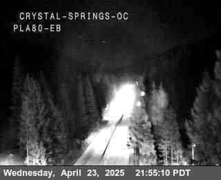
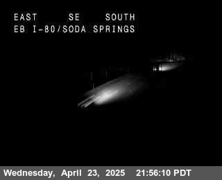
I-80 Road Cams:
Crystal Springs, Exit 148 - 3,868'
Blue Canyon, Exit 154 - 5,022'
Soda Springs, Exit 174 - 6,768'
Donner Summit, Exit 176 - 7,165'
Donner Lake, Exit 180 - 6,394'
Truckee Scales, Exit 191 - 5,826'
NV State Line, Exit 1 - 4,800'

If you are traveling through the Sierra please use the links below for travel advisories as we do not give our opinions for the "safest" or "best" travel times for liability reasons.
NWS Reno: https://www.weather.gov/rev/
NWS Sacramento: https://www.weather.gov/sto/
CA road conditions: http://www.dot.ca.gov/cgi-b... (and 1-800-427-7623)
NV road conditions: https://nvroads.com/
OSS weather share: http://oss.weathershare.org/#
About Our Forecaster
Bryan Allegretto
Forecaster
Bryan Allegretto has been writing insightful posts about snow storms for over the last 15 years and is known as Tahoe's go-to snow forecaster. BA grew up in south Jersey, surfing, snowboarding, and chasing down the storms creating the epic conditions for both.
Free OpenSnow App


